Let's see the world upside down!

If we think about what nature gave us to locate where we are standing, we may remember just one thing: where the sun rises and where the sun sets. That's maybe the only and most important direction given by nature.

The result of what I've mentioned before is what people called : North, South, East and West. And here is when the question appears: Where is the South? The North? The East and West? Why North is up and South is down?

We know that Earth is in the space, and here there's no up nor down. The space and the Earth are just there, with no Southern Hemisphere or Northern Hemisphere, these are humans creations. So, why the most known map is which has Europe (including The United States and Canada) on the top?
The convention came a few centuries ago when in the Northern hemisphere, European navigators started using the North star and the magnetic compass. Before that, the top of the map was to the East which is where the word "orientation" comes from. In 1569, a new map projection was created by the geographer and cartographer Gerardus Mercator. The Mercator projection distorts the size and shape of large objects, as the scale increases from the Equator to the poles, where it becomes infinite.
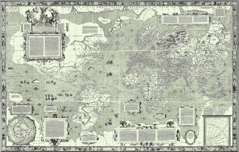 |
| The Mercator World Map |
The surprising thing here is that we are still using this kind of map, where mainly Europe is on top and Britain in the middle of the Northern Hemisphere. For me, the reason is clearly about political power and how they want to be seen. For instance, in Australia you can find upside down maps, in which Australia is on top and even in the middle. Why? Because they know the influence that maps have in the conception of the world.

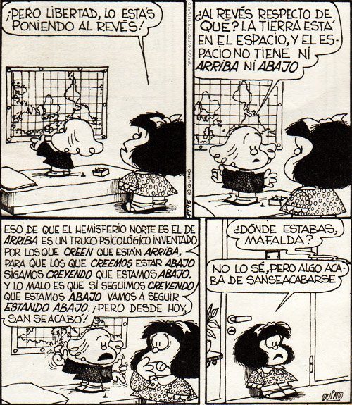
In 1943, an Uruguayan painter, made a different map, saying: "Our North is the South, to go to the North, our ships go down, not up".It's hard to believe that we've been educated into one stereotype about maps, but even something more incredible is to realize that we were quite shocked looking "upside down maps", because they looked completly weird for us.
I invite you to look for other type of maps, knowing now the real influence that maps have in people. How we learnt in the past unit, we must be critical and curious students.
I hope you to enjoy my post!
This comment has been removed by the author.
ReplyDeleteIt's a very interesting post. I really wanted to know the origin of the conventional maps. I agree with you when you say that there's a clear political influence behind the conventional division of our maps. It would be extremely useful that at schools the teachers showed different maps(like the ones you showed in your post).On that way the students would start having critical thinking since childhood.
ReplyDeleteI really enjoyed reading your post, and I can say now that I feel lost! You made us question about what is north and what is south. Usually I listen from my family in Sweden that they'll go down, in reference that they'll come to Chile. I really enjoy when I see this weird maps and the cartoon on it was amazing.
ReplyDelete